You’re standing at the trailhead of the Highline Trail in Glacier. The air is crisp, smelling of pine and ancient ice. You pull out your phone to check the elevation gain, and—nothing. The little "No Service" icon mocks you. Most people think a national park map checklist is just a souvenir hunt or something for the scrapbooks. It’s not. It is survival gear that happens to look cool on a wall.
Look, digital maps are great until the battery dies in the cold or the GPS chip loses its mind under a canopy of old-growth redwoods. I’ve seen hikers spinning in circles in the Great Smokies because they trusted a 4G connection that didn't exist. Paper doesn't need a signal. It doesn't die at 5%. Honestly, if you aren't carrying a physical map, you're just gambling with your afternoon.
The Unspoken Truth About Park Maps
People usually grab the free "Unigrid" brochure at the visitor center and call it a day. You know the ones—the sleek, black-banded maps designed by the National Park Service's Harpers Ferry Center. They are iconic. Massimo Vignelli’s design language made them a piece of art. But here’s the thing: they aren’t actually trail maps. They are "wayfinding" maps. They tell you where the bathrooms are and where the main road goes. If you’re planning to do the Beehive Loop in Acadia or trek into the backcountry of the Needles in Canyonlands, that brochure is basically a napkin.
A real national park map checklist starts with topographical data.
We’re talking about contour lines. If you don't know how to read the "V" shape of a drainage pipe or a ridge line on a 7.5-minute quadrangle, you’re missing the point of the map. National Parks are big. Really big. Death Valley is 3.4 million acres. You can fit several small states inside that. Relying on a stylized drawing of a park to find your way out of a canyon is a recipe for a very long night spent shivering under a space blanket.
The Different Layers of Your Checklist
You need to think about your map needs in tiers. Tier one is the overview. That's your "where is the visitor center" map. Tier two is the "I'm actually walking now" map. These are your National Geographic Trails Illustrated maps or your Tom Harrison maps. They are waterproof, tear-resistant, and won't disintegrate the second a stray raindrop hits them in Olympic National Park.
- Topographic maps (1:24,000 scale): These are the gold standard for backcountry.
- Shaded relief maps: Better for visualizing the terrain if you're not a pro at reading contour lines.
- Interagency maps: Essential if you’re crossing from a National Park into National Forest land, where the rules and trail maintenance change instantly.
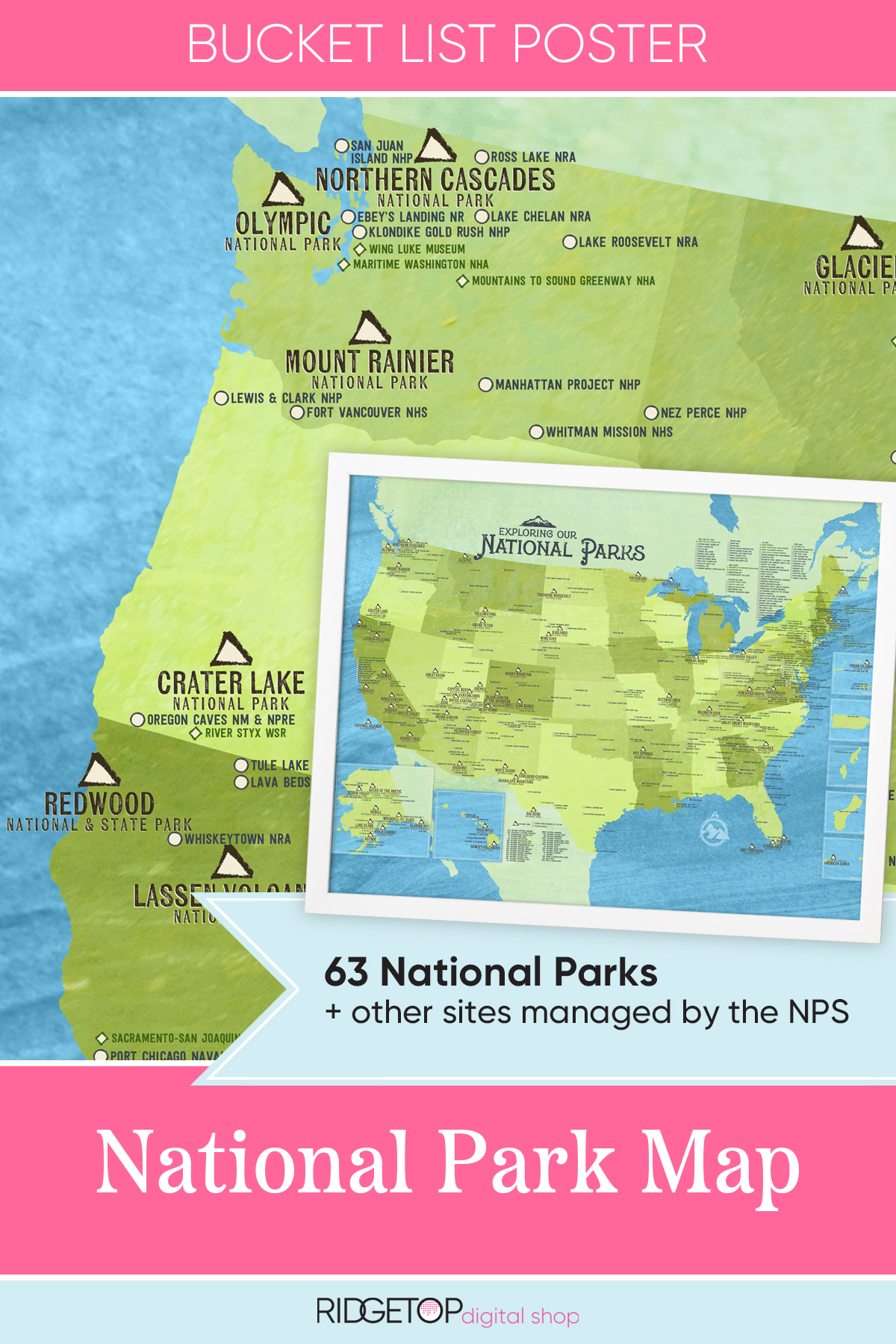
Then there is the third tier: the personal tracker. This is where the national park map checklist becomes a hobby. There are posters where you can scratch off the parks you've visited, or "passport" books where you get a rubber-stamp cancellation at the ranger station. It's fun. It keeps the kids engaged. But don't mistake your scratch-off poster for a navigational tool.
Why 2026 Tech Still Can't Replace Paper
We are living in an era of incredible satellite imagery. You can see a downed tree from space. Yet, the National Park Service still spends a fortune printing millions of paper maps every year. Why? Because the wilderness is indifferent to your tech.
I talked to a backcountry ranger in Zion last year. He told me the number one cause of "preventable SAR" (Search and Rescue) isn't lack of fitness. It’s "navigational error." People follow a digital line on a screen, the screen goes dark, and they realize they have no idea which peak is which. A paper map gives you context. It lets you "orient" yourself—a word we’ve mostly forgotten. To orient means to find the east. It means knowing where you are in relation to the horizon, not just following a blue dot.
The Durability Factor
I’ve had a map fall into a creek in the North Cascades. If that were my phone? Game over. Since it was a poly-synthetic map, I just shook it off and kept walking. You also have to consider the "big picture" view. Trying to plan a 12-mile loop on a 6-inch screen is like trying to look at a mural through a straw. You can't see the adjacent canyons. You can't see the alternative exit routes if a forest fire smoke-out happens or a trail is washed out.
On a physical map, you can spread it out on the hood of the car. You can see the whole valley. You can see that if you get lost, heading West will eventually hit the main road. That "macro" perspective is a literal lifesaver.
Building Your Own National Park Map Checklist
If you’re serious about this, your checklist shouldn't just be "did I buy it?" It should be "is it current?" Landscapes change. After the 2023-2024 winter storms in California, some trails in Kings Canyon simply ceased to exist. Bridges were swept away. If you're using a map from 1998 you found in your uncle's garage, you're going to have a bad time.
Check the "Revised" date in the corner of the map. If it’s more than five years old, it’s a historical document, not a guide.
- The Unigrid (The Souvenir): Collect these for the history and the art. Keep them in a folder. They are great for the "checklist" feel of visiting all 63 (and counting) major parks.
- The NatGeo Map (The Workhorse): Buy these for the specific parks you plan to hike. They show springs, campsites, and mileage between junctions.
- The USGS Quad (The Specialist): Only necessary for off-trail travel or serious peak bagging.
- The Digital Backup: Yes, use Gaia GPS or AllTrails. But they are the backup to your paper, not the other way around. Download the offline tiles. Do it at home, not at the trailhead where the signal is flaky.
Mistakes People Make With Their Map Lists
The biggest mistake? Buying the map at the park.
I know, it sounds counterintuitive. But the park stores often run out of the specific trail maps during peak season. Or, you get there at 6:00 PM, the visitor center is closed, and you’re starting your hike at dawn. Your national park map checklist should be completed weeks before you leave your house. Study the map at the kitchen table. Trace the trails with your finger. Get the "lay of the land" into your brain before your boots hit the dirt.
Another weird thing people do is keep the map in their backpack. A map in a backpack is useless. It should be in your pocket or a dedicated map case. If you have to stop, take off your pack, and rummage through your gear every time you hit a fork in the trail, you eventually stop checking the map. That’s when you take the wrong turn.
Beyond the 63 "Major" Parks
Most people focus their national park map checklist on the "Big 63"—Yellowstone, Yosemite, etc. But there are over 400 NPS units. National Monuments, National Seashores, National Battlefields. Some of the best maps are for places like Dinosaurs National Monument or the Craters of the Moon. These maps often contain geological information that turns a boring walk into a trip through time.
Don't be a "63-only" snob. The map for a National Preserve can be just as intricate and necessary as the one for the Grand Canyon.
The Actionable Checklist for Your Next Trip
- Verify the Edition: Ensure your map reflects post-2022 trail closures or realignments.
- Scale Check: Make sure the scale is appropriate for your activity (1:80,000 for driving, 1:24,000 for hiking).
- Waterproofing: If it's not pre-treated, put it in a heavy-duty Ziploc bag.
- Marking: Use a highlighter to mark your planned route and a different color for "bail-out" points.
- Orientation: Practice using a compass with your map in your backyard. Magnetic North is drifting; make sure you know the current declination for the park you’re visiting.
The physical reality of a map is a tether to the land. When you fold it, you're interacting with the geography. When you see the sweat stains on the edges or a smudge of dirt from a campsite in the Tetons, that map becomes a story. It’s a record of where you’ve been and a promise of where you’re going. Keep your digital apps for the car ride, but when you step into the wild, trust the paper. It’s been working for hundreds of years, and it’s not going to stop now.
Get your maps early. Study them. Respect the terrain. The map is not just a piece of paper; it’s the difference between a great story and a cautionary tale.