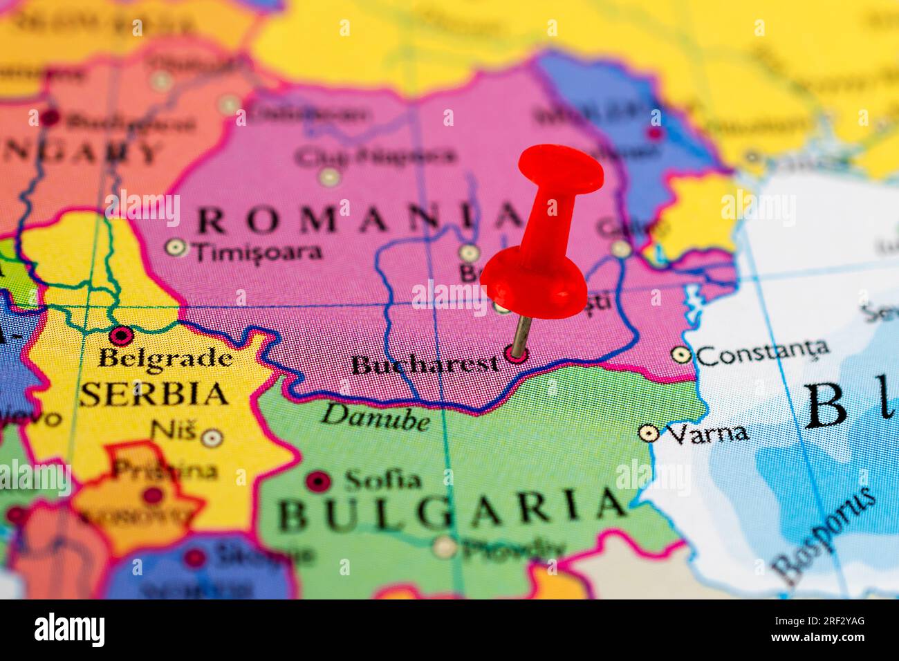
Bucharest is a mess. I say that with love, but if you look at a map of Bucharest Romania, you aren't looking at a master-planned grid like New York or a concentric circle like Paris. You’re looking at a chaotic, beautiful, sometimes frustrating collision of centuries. It’s a place where a 17th-century Orthodox church sits in the literal shadow of a glass-and-steel skyscraper, and they’re both squeezed next to a crumbling Art Deco villa.
Most people pull up Google Maps, see the massive "Palace of the Parliament" right in the middle, and think they’ve got it figured out. They don’t. Bucharest is actually six different "Sectors," and each one functions like its own little fiefdom with its own mayor and its own distinct vibe. If you’re trying to navigate this city, you have to understand that the map is lying to you—it makes distances look walkable when they aren’t, and it hides the best parts of the city in "blocks" that look like Soviet labyrinths.
The Sector System: Why the Map of Bucharest Romania is Divided Into Slices
The first thing you’ll notice on any administrative map of Bucharest Romania is that it’s sliced like a pizza into six sectors. This started back in the late 1970s. Sector 1 is the "rich" part, stretching north toward the airports and housing the posh neighborhoods of Primaverii and Floreasca. Sector 2 is a mix of old industry and the hip, gentrifying areas around Obor. Sector 3 is where you’ll spend most of your time as a tourist because it holds the Old Town (Centrul Vechi), but it also contains massive residential "dormitory" neighborhoods like Titan.
Sector 4 is the south, historically working-class but getting prettier. Sector 5 is the most complicated, containing both the opulence of the Cotroceni neighborhood and some of the city's most impoverished areas. Sector 6 is the west, dominated by huge apartment complexes like Militari.
Why does this matter? Because the budget for "pretty things" like parks and paved sidewalks depends on which sector you’re standing in. You can walk across a street and the pavement literally changes because you’ve crossed an invisible administrative line.
The Old Town Trap
Look at the map of Bucharest Romania and find the "Centrul Vechi." It looks like the heart of the city. To a degree, it is. It’s the only part of the city that feels truly "European" in the classic sense—narrow, winding streets and old buildings. But here’s the thing: it’s tiny. It’s barely a few blocks. Most locals actually avoid it because it’s a tourist trap filled with overpriced beer and loud music.
If you want the "real" Bucharest, you have to look north of University Square. Follow Calea Victoriei. This is the city's oldest artery. It’s not a straight line; it curves and snakes. Historically, it was paved with oak beams, which earned it the name "The Paved Road." Today, it’s the spine of the city’s cultural life. On weekends in the summer, they often close it to cars, and the map transforms into a giant pedestrian promenade.
The Ghost Map: What Ceaușescu Deleted
You can't talk about the geography of this city without talking about "Ceaușima." In the 1980s, the dictator Nicolae Ceaușescu decided he wanted to build a "Civic Center" that would rival Pyongyang. To do this, he took a wrecking ball to the historic Uranus neighborhood.
He erased 40,000 homes, dozens of churches, and hospitals. When you look at a modern map of Bucharest Romania, that massive empty-looking space around the Palace of the Parliament? That’s a scar. It used to be the most beautiful part of the city.
The Palace of the Parliament itself is so large it has its own zip code. It’s the second-largest administrative building in the world after the Pentagon. If you’re navigating by foot, the Palace is a nightmare. It looks close, but because it’s so huge, it ruins your sense of perspective. You think you can walk around it in five minutes. It takes thirty.
Moving Underground: The Metro Logic
The Bucharest Metro (Metrorex) is actually quite good, but the map is weird. There are five lines (M1 through M5). The M1 is a big loop, but it doesn’t quite finish the circle.
- Piața Unirii is the "Grand Central" where the M1, M2, and M3 meet. It’s a subterranean maze.
- The M2 (Blue Line) is the north-south axis. It’s the "corporate" line, taking people from the southern suburbs to the northern office hubs like Pipera.
- M5 is the newest, serving the Drumul Taberei neighborhood. It’s clean, modern, and took about a decade longer to build than anyone expected.
One thing the map of Bucharest Romania won't tell you is that the Metro doesn't go to the Otopeni Airport (OTP) yet. There is a train from Gara de Nord (the main station), but the Metro line to the airport is still a work in progress. Don't let a "planned" line on an old map fool you.
The Green Lungs of the North
If you move your eyes to the top of the map of Bucharest Romania, you’ll see a massive splash of green. This is Herăstrău Park (now officially King Michael I Park). It’s huge. It surrounds a massive lake where you can actually take boat rides.
Next to it is the Village Museum (Muzeul Satului). This is a "living" map of the entire country. They literally took authentic peasant houses from all over Romania—Transylvania, Moldavia, Oltenia—disassembled them, and put them back together in this park. It’s one of the few places in the city where you can escape the noise of the Dacia Logans honking in traffic.
South of the center, there’s another green spot: Carol Park. It’s smaller, more formal, and has a massive communist-era monument at the top of a hill. From there, you get one of the few decent views of the city skyline, such as it is. Bucharest isn't a city of "views" because it's mostly flat, built on the Romanian Plain.
The Hidden Neighborhoods You Should Actually Visit
Forget the Old Town for a second. Look for the Cotroceni neighborhood on the map. It’s near the botanical gardens. This is where the doctors, professors, and old money live. The streets are lined with linden trees, and the architecture is a mix of Neo-Romanian and Art Deco. It feels like a different planet compared to the brutalist concrete of the rest of the city.
Then there’s Armenească (The Armenian Quarter). It’s east of University Square. The map shows a jumble of small streets. It’s crumbling, but in a poetic way. You’ll find old villas covered in ivy and tiny coffee shops hidden in backyards. Honestly, this is where the soul of the city is.
Logistics: How to Actually Navigate
If you’re using a digital map of Bucharest Romania, download an app called 24pay or STB Blue. The surface transport (buses, trams, trolleybuses) is extensive but can be confusing.
- Trams are faster than buses. They have their own tracks and don't get stuck in the legendary Bucharest traffic. The Line 1 tram is a "ring" that circles the city center—it's a great way to see the city for the price of a coffee.
- Avoid taxis. Use Uber or Bolt. Traditional Bucharest taxi drivers are a "culture" in themselves, and not always in a good way for your wallet.
- Waze is king. Because of the constant roadwork and the fact that Bucharest has one of the highest congestion rates in Europe, even locals won't drive ten blocks without checking Waze.
The Problem with Street Names
Addresses in Bucharest are a nightmare. You’ll see "Strada" (Street), "Bulevardul" (Boulevard), "Calea" (Way), and "Intrarea" (Entrance). An "Intrarea" is usually a dead-end alley.
Also, names change. After the 1989 revolution, the city went on a renaming spree to get rid of communist names. Some older locals might still use the old names. For example, "Calea Dorobanți" is iconic, but some of the smaller streets nearby have changed names three times in sixty years.
Actionable Insights for Your Visit
To truly master the map of Bucharest Romania, you need to stop thinking like a tourist and start thinking like a navigator.
- Pin the Landmarks: Use the "Arcul de Triumf" in the north and "Piața Unirii" in the center as your north-south anchors.
- The 41 Tram: If you need to get from the north to the southwest quickly, the 41 "light rail" is the only thing that moves faster than the cars.
- Walk Calea Victoriei: It’s the only way to see the transition from the Royal Palace to the posh shops to the gritty edges of the center.
- Look for the "Passages": Bucharest has several covered glass passages, like Pasajul Macca-Villacrosse. They are hidden on most 2D maps but are the best spots for a shisha or a coffee.
Bucharest is a city of layers. The map is just the top layer. To understand it, you have to realize that the city isn't trying to be "organized." It's trying to be alive. It’s a city that was called "Little Paris," then "The New Pyongyang," and is now becoming a tech hub. Every time you turn a corner, the map changes because the city is constantly rebuilding itself on top of its own ruins.
Don't just look at the lines on the screen; look at the age of the buildings. That’s the real map. Check the sector numbers on the street signs—they are color-coded (Sector 1 is usually blue, etc.)—and you'll always know roughly where you are in the "pizza slice" of the city.